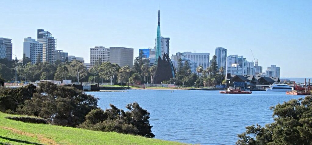
Tuesday, 4 June 2013
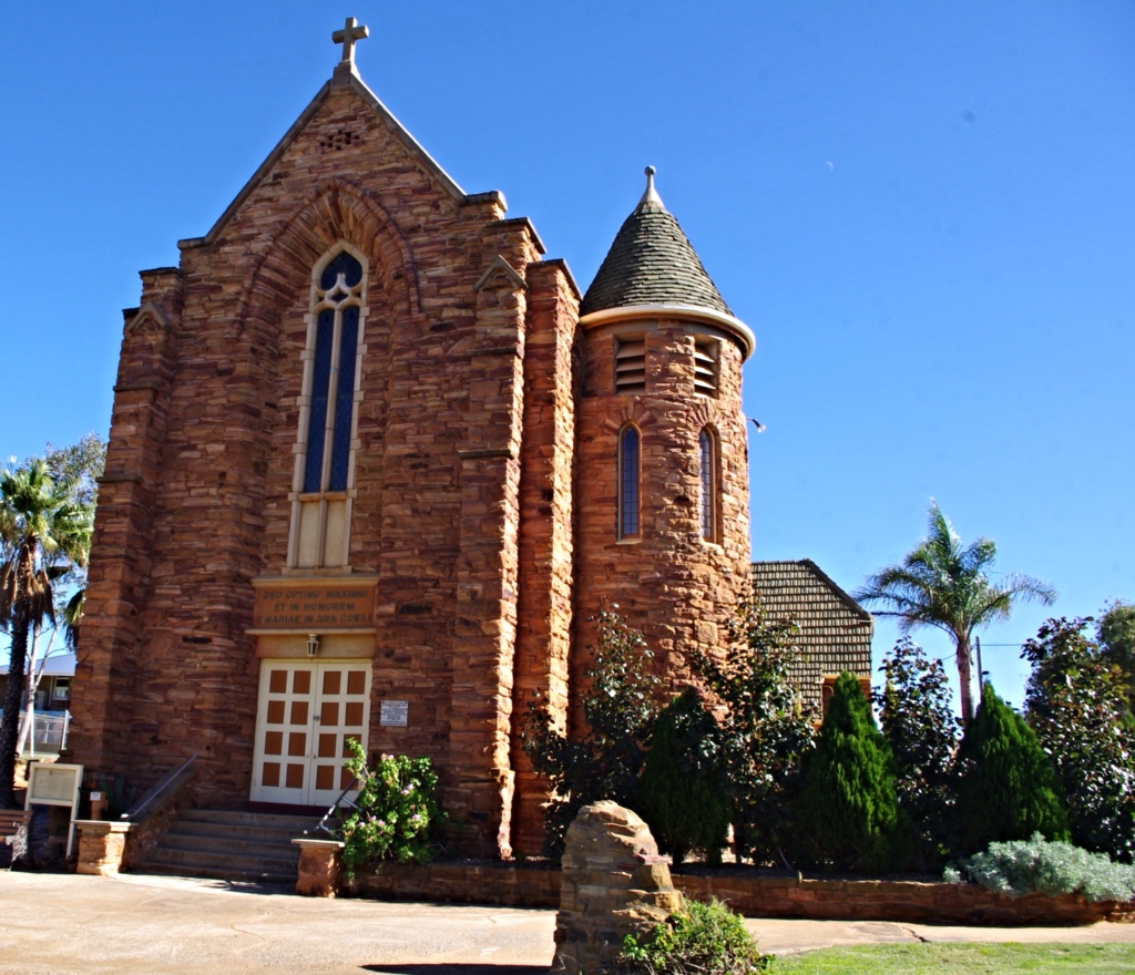
Kalbarri
So, I skipped running this morning, because last night I stayed up late watching this season's last three Grey's Anatomy shows. The shows didn't end until 1 a.m.. By the way, whose idea was it to end the season finale at 1 a.m.? I will never understand Australian TV programming. Why change the days shows are shown? And, why not show the shows every week in a specific timeframe? Grey's Anatomy is not the only show this weirdness happens to. Oh well…I think it is time to swear off TV.
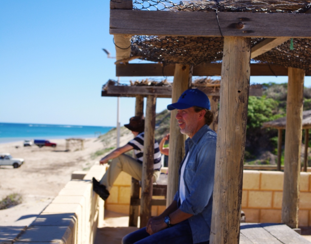
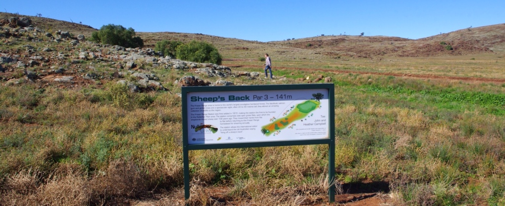
Hector and I got up and tried to find a good breakfast sandwich. We settled for Angie's Cafe in the main part of Kalbarri, which was good. Then, it was time to leave. We wanted to visit the Kalbarri National Park, but found out yesterday the main part of the park is closed due to road resurfacing. Oh no! So, we decided to go to the less popular part of the park, which was not under any maintenance.
On the way and several kilometers from town, we were flagged down by a man with no shoes and no shirt. He was waving a plastic road marker and looked desperate. I told Hector to keep driving. We heard about but had not seen the movie Wolfe Creek, where an Australian man abducts three tourists and tortures them. I had no intention of being Wolfe Creeked by a crazy dude without shoes.
Hector cautiously slowed the car. As we approached the man we noticed his white sedan was partially buried on the sandy shoulder of the road. Hectie rolled down the window while hovering his foot over the accelerator (just in case anything nutty was about to go down), and asked “What is the matter?” The guy said he was picking flowers for his mum and got his car stuck in the sand. Huh, what flowers? “Where is your mom?” Hectie asked.
The panicked guy seemed to be ready to cry. I don't know if picking flowers for mum is code for something else, but whatever. As Hector spoke to the guy, I grabbed my Gerber knife and slid it into my bra…you know, just in case…
In deciding we would help this guy, another car approached with two guys and a girl. They had no choice but to stop, because the Amarok and the man with the plastic sign blocked the road. So, the end to this story is that Hector, the guys from the other car, and I pushed the man's vehicle out. Mr. Panicky jumped for joy and shook everyone's hand. He was now able to deliver those flowers to mum. We never saw any flowers growing along road, but maybe it is better not to ask anymore questions. We quickly sanitized our hands and drove off.
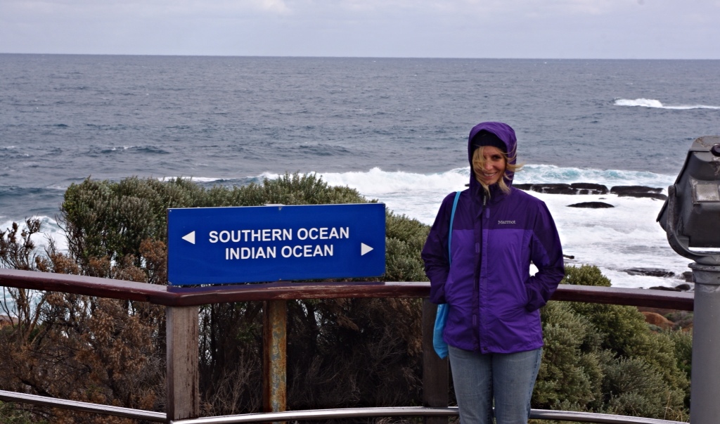
Kalbarri National Park
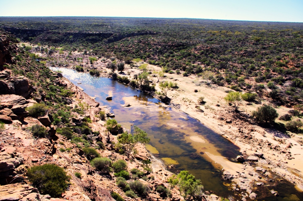
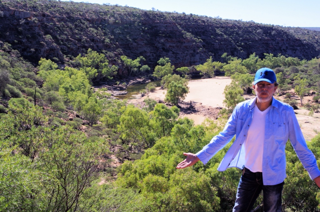
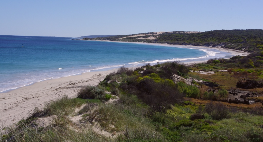
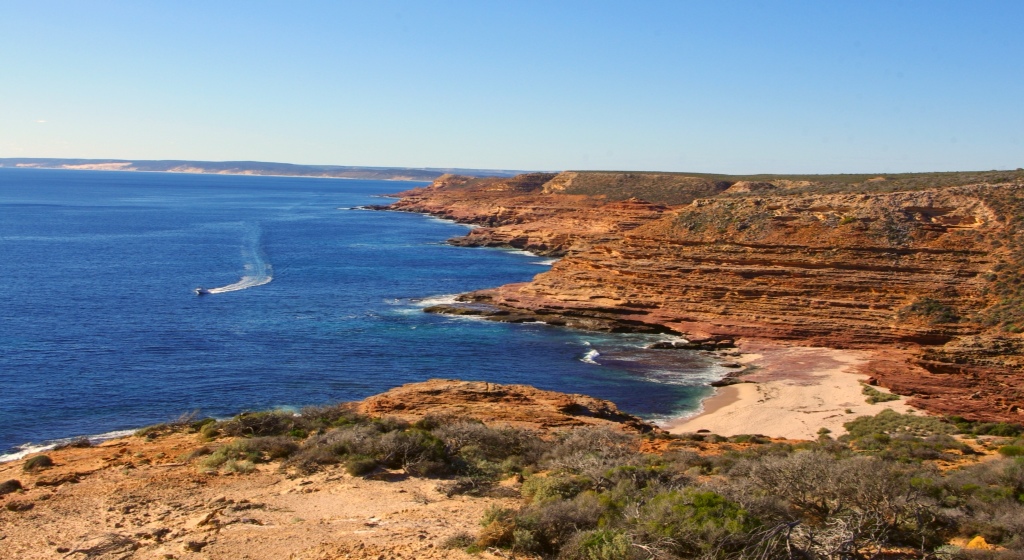
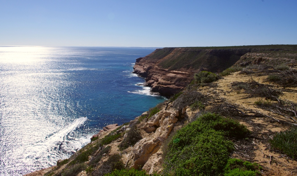
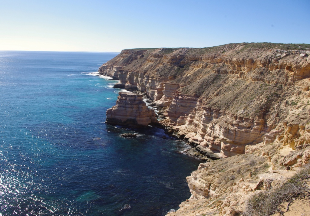
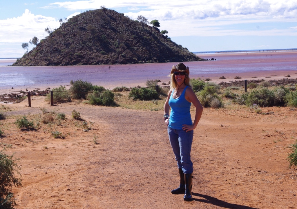
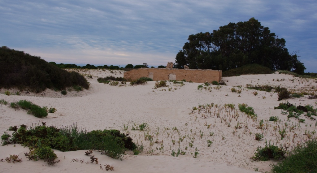
Our first stop in Kalbarri National Park was Hawk's Head where we had a beautiful view of the river below.

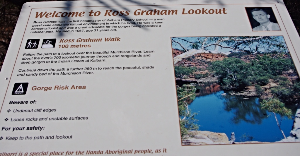
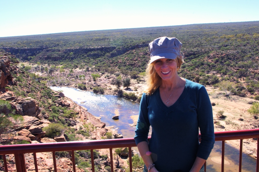
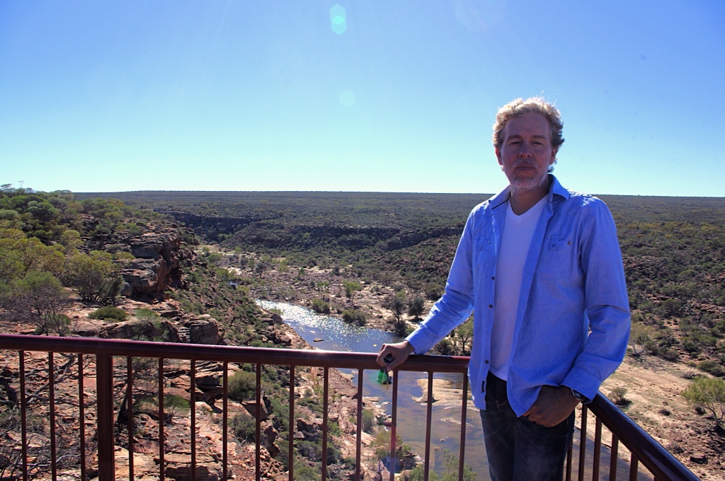
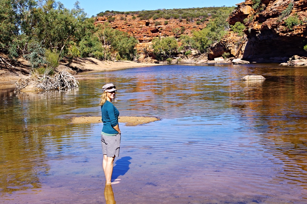
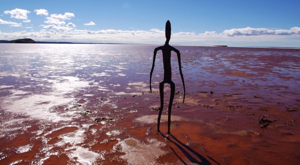
The next stop was at Ross Graham Lookout where the hike down to the river was fairly easy, even in flip-flops (which is what I decided to wear…no idea why). We got to the river and kept going. We ran into an Aussie couple from Melbourne. We had an interesting chat and found out they had lived in McLean, Virginia in the 70s. Small world, right? During the 70s, my family was living in Herndon, Virginia…practically neighbors to McLean.
An interesting fact about the gorges here…they contain fossil tracks of a Eurypterid, which is a scorpion creature that grew up to 2 meters long. Can you imagine being chased by something like that? I think I will pretend in my next running race…surely it will get me to move a bit faster!
After our attempt at tracking giant scorpions failed, we headed to Shark Bay which was another 4 hours away. On the way, we stopped at Billabong Roadhouse on the North West Coastal Highway, because Hectie wanted a cappuccino. He concluded that this roadhouse had the absolute world worst coffee, even worse than mine…and that is hard to beat.
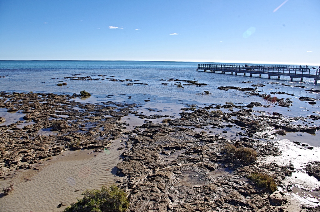
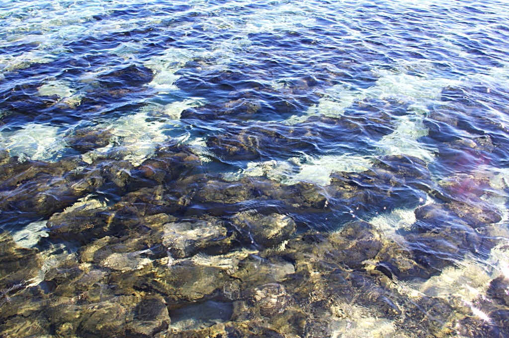
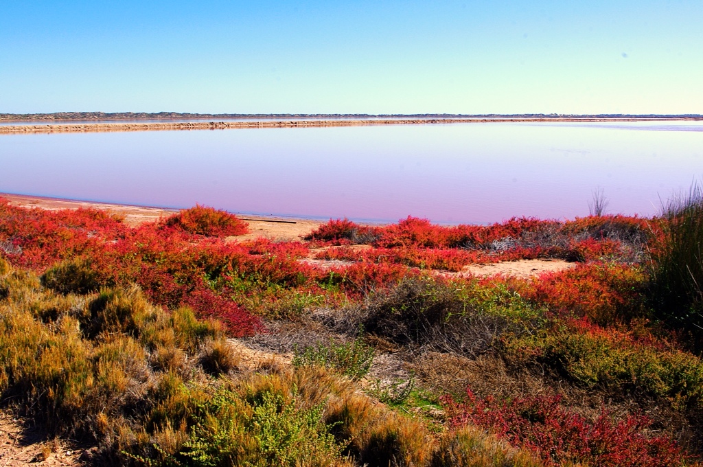
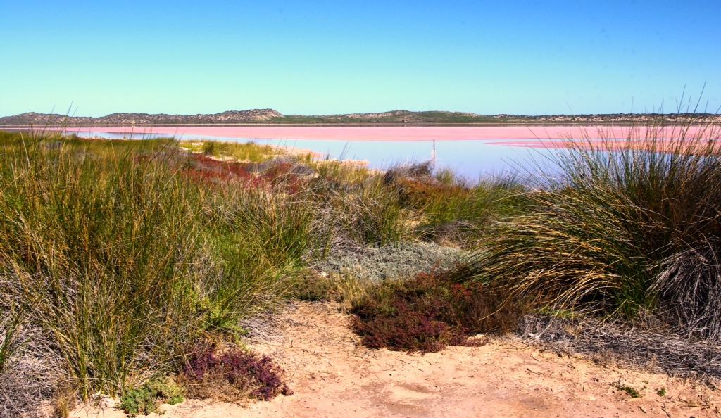
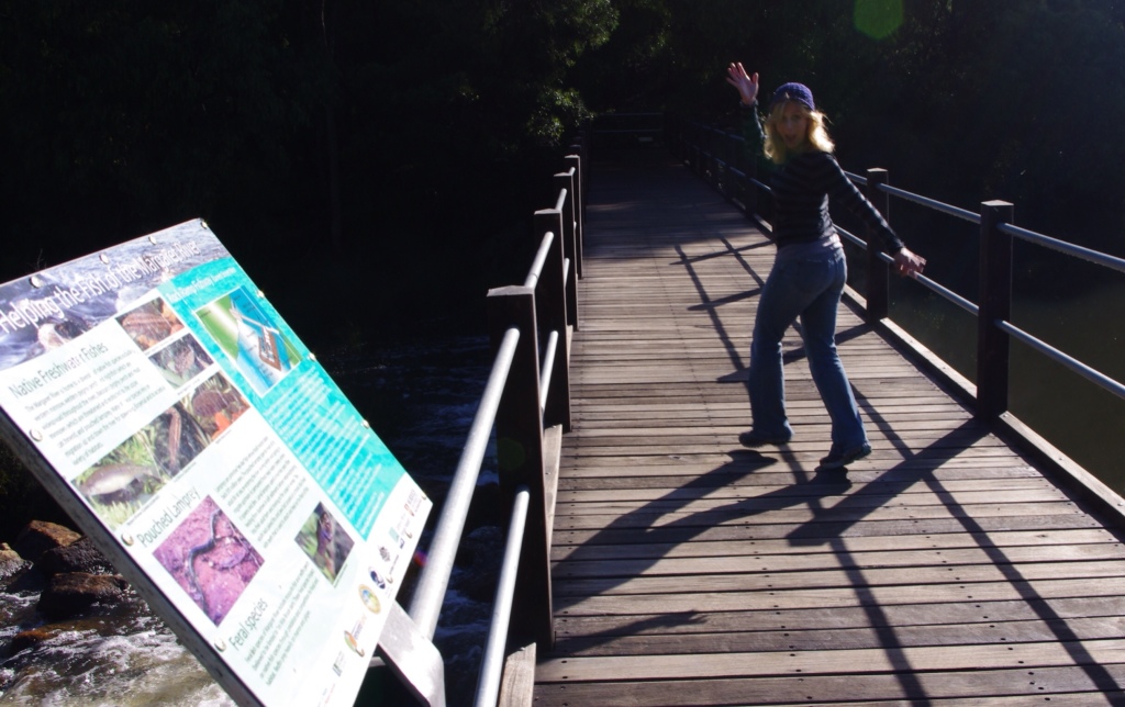
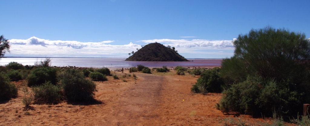
Arriving into the Shark Bay World Heritage Area, our first stop was Hamelin Pool. Hamelin Pool is the home to many Stromatolites. The Stromatolites found here are similar to the earliest forms of life dating back 3 billion years ago. This colony is around 3,000 years old and grows here because they enjoy the high salinity of the water with calcium bicarbonate and limited circulation of the water. An interpretive boardwalk is here and helped us to better understand the strange organisms living there.

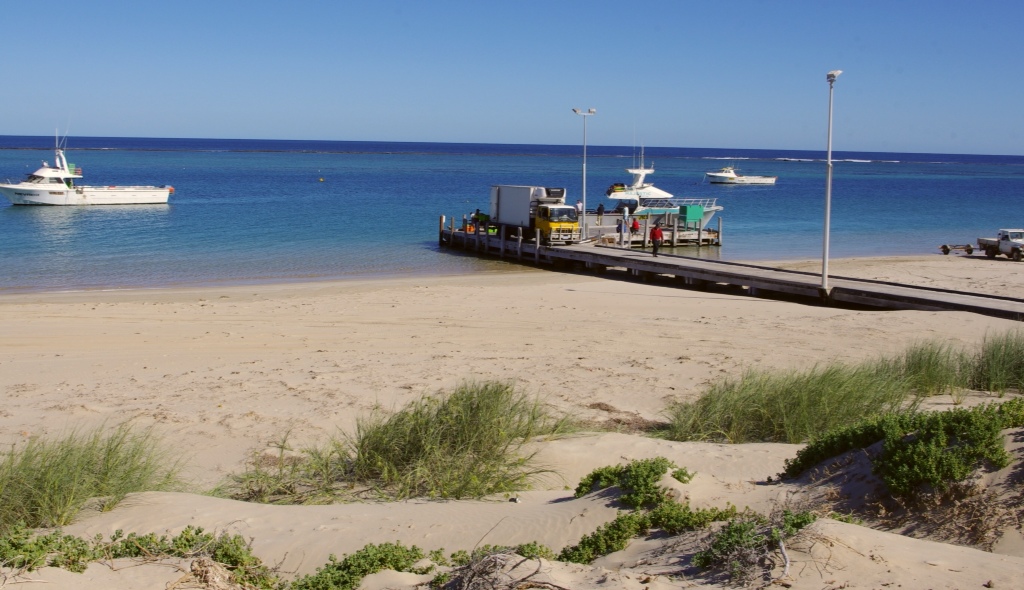
Denham (population 800)
We arrived in Denham in the early evening and located a small apartment at the Trade Winds Motel. After relaxing a bit, we went to dinner at the Old Pearler Restaurant, the world's only shell restaurant. Unfortunately, we did not take a picture of this quaint building, but it is made of the sea shells found on Shell Beach. And, the food was great!
Tomorrow we will get up early to visit the dolphins at Monkey Mia. We are very excited…dolphins are adorable, right?
Drove 425 kilometers.
Ran 0.