Sunday, 26 May 2013
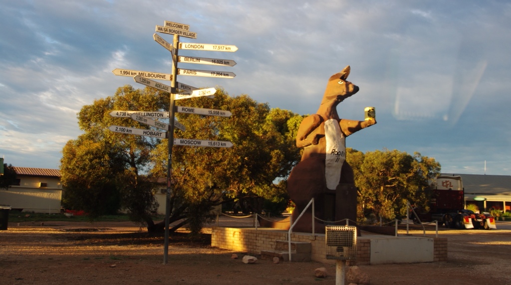
Border Village
I believe we have discovered the armpit capital of Australia, Border Village (and I believe it to be worse than the U.S. armpit capital). Everything is surreal here…cops everywhere (checking for drugs, drunk drivers, and people sneaking in fruits and vegetables). With so many cops, I wasn't sure if I felt safe or not!
We woke up this morning to the fragrant smell of cattle trucks filled to the brim with sheep (I think…my distance was kept due to the strong odor). This experience brought me back to memories of the summer I worked in Vale, Oregon. The cattle trucks and stockyards would hinder my daily runs by either keeping me from running or forcing me to run circles at the local track far enough from the smell enabling me to breathe freely.
So needless to say, there was no run today!
At Border Village, I took a quick snapshot of Rooey, the giant roo.
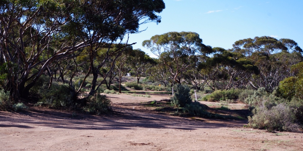
Eucla

After going through the quarantine again for a second vehicle inspection, Hector drove us to Eucla for fuel and a visit to the old telegraph station.
In 1841, Edward John Eyre (by the way we are driving the Eyre Highway) became the first explorer to visit the area. A few decades later, a telegraph line from Albany to Adelaide was created. Land was set aside at Eucla for a manual repeater station. The telegraph line opened in 1877 and Eucla was a conversion point. South Australia and Victoria used American Morse code while Western Australia used the international Morse code.
The town of Eucla was established in 1885 and peaked in the 1920s.
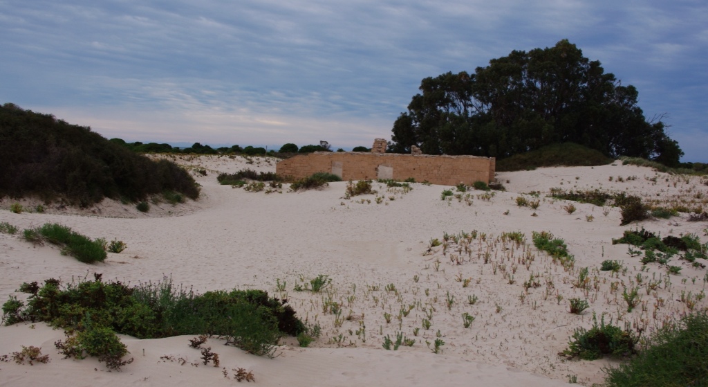
In the 1890s a rabbit plague hit the area and ate the majority of the dune vegetation. The dunes were no longer stable and large sand drifted to the town. The original town had to be abandoned, and a new townsite established in the same area as the giant whale…high up on a hilltop.
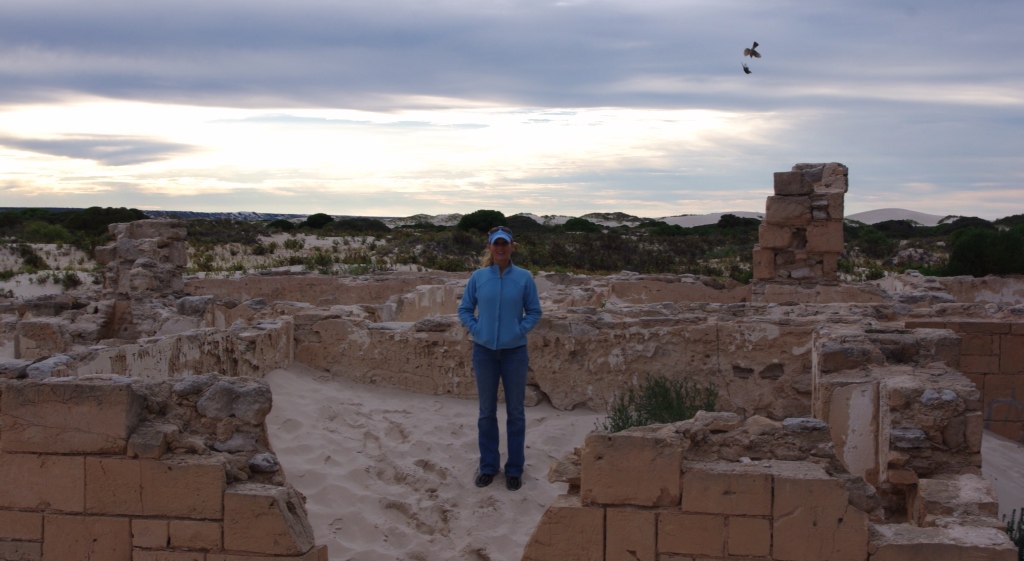
Telegraph station ruins.
Mundrabilla
We drove on to Mundrabilla station, the first sheep station on the Nullarbor, which was established by William Stuart McGill (a Scotsman) and Thomas and William Kennedy (two Irishmen) in 1872.
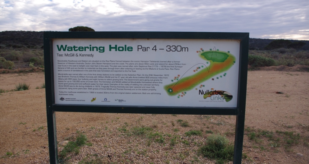
Time for more golf! Stopping at Mogas we picked up our clubs and balls for the Watering Hole hole. It is a par 4, 330 meter fairway. Hectie's first shot was a beauty. Mine was so so..a long roller. As we took a hike to find Hectie's ball, Hectie was sure he'd never see it again, but as we turned the corner we saw the white glow of it laying perfectly on the dirt. Hectie ended with 1 over par…very nice. Me, well a few bad putts put me further behind…5 over par. 😦
Madura
Next stop…Madura to play Brumby's Run. I kept wondering what is a Brumby? I found out Madura was settled in 1876 and used to breed cavalry horses for the British Indian Army for use in the Northwest Frontier region of India, which is now part of Pakistan. The land along the Nullabor Plain is extremely dry, and the Madura area was one of the only places with free flowing water. And learning something new, a Brumby is Aussie slang for wild horse. Why did I not know this?
Now, the surrounding area is part of Madura Station, a sheep station, but was previously used to graze cattle and camels…and of course, horses.
Looking down the fairway at Brumby's Run.
Brumby's Run hole is par 3, 125 meters. No specific highlights to report for this course, other than I found a few extra balls as I looked for my ball. Score: Hector had 4 and I had 5.
The Maldura Pass is a pretty spot and has a nice little cafe, so Hectie and I shared an order of fish and chips for lunch.
Our next Golf stop was in Cocklebiddy. We have now become obsessed with this dry dirty course, and played the Eagle Nest hole, par 4, 347 meters. It was wide and lacked vegetation, so a few long rollers got us both to the green quickly. Hectie achieved par, and with 2 bad putts I was over par by 2. Hectie wins again!
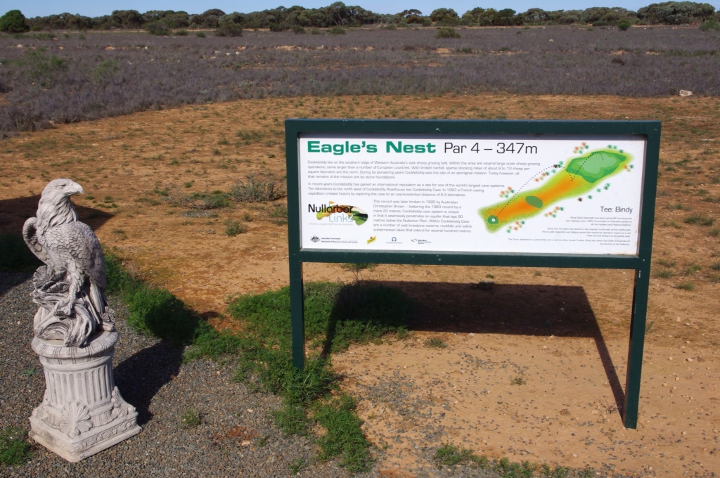
Eagle's Nest hole.
By the way, the Cocklebiddy area has underground caves, and the Cocklebiddy cave has a passage more than 6 km long, of which around 90% is underwater and only accessible via cave diving. Needless to say, we didn't head in.
Caiguna
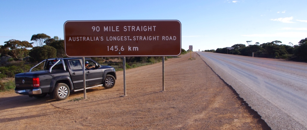
The golf hole in Caiguna is located right before we got on the 90 Mile Straight. It is appropiately named the 90 Mile Straight hole, par 4, 310 meters. This hole was so bad that I have already forgotten it. I had 10 hits and Hectie made it in 6. Tough luck. I kind of wish this fairway was like the road we were about to drive, then things would have been simpler!
As I drove a few kilometers out of town, we saw a nice attraction sign for the Caiguna Blowhole. Turning off to go see it, we went head to head with a caravan on a narrow dirt road. Deciding I was the chicken I pulled off the road. The other driver stopped and told us the blowhole was no where to be found. Not believing him, we contined the search and…came up empty! Wtf…we drove for over an hour disturbing herds of kangaroo…to FIND NOTHING. We left after searching all possible routes and continued west.
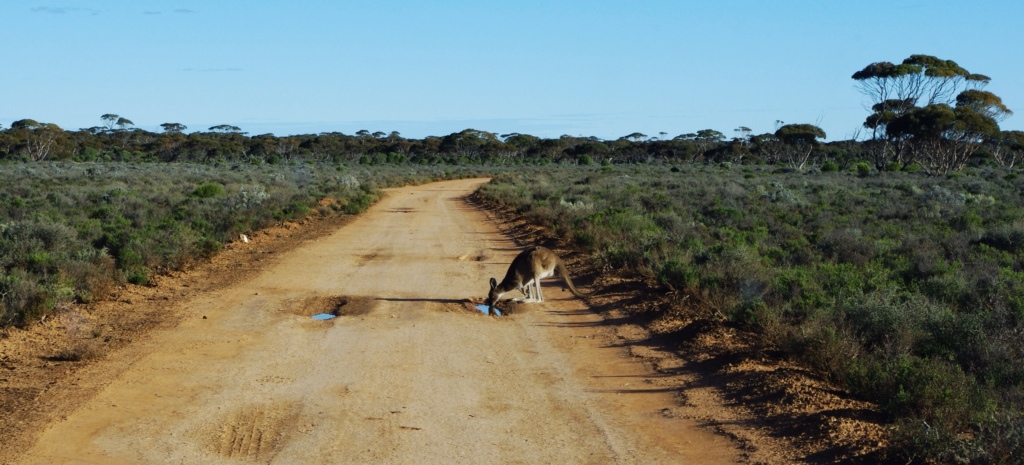
Kangaroo near the invisible blowhole.
Here is a photo Hectie took as I passed an oversized truck on the straight.

Balladonia
Although we constantly chased the sun through two time changes, we weren't able to make it to Norseman before we lost sunlight. But, we were very happy to spend the evening in little spot known as Balladonia. It was so peaceful. The motel was clean and dinner of chicken, potato, and broccoli, was delicious. And, it meant we could play the Skylab golf hole in the morning.
Drove 549 kilometers.
Ran 0.

That was great, Anna.